2026-10-15
Trabuco Canyon Trails: Why Visitors Must Check Current Forest Orders Before Hiking
Historic fire damage, changing forest orders and limited road access make official updates essential for recreation in the Trabuco Ranger District.

Choose how to support California58:
Credit / Debit Card via StripeChoose your contribution amount on the secure California58 Stripe checkout. One-time support for independent local journalism.
Continue with PayPal Continue with ZelleZelle payments go to Vitaly Ataev Troshin. Please verify the recipient in your bank before sending. Availability depends on your bank.
Optional reader support. Contributions are not advertised as tax-deductible. Support does not influence editorial decisions.CALIFORNIA58
Wildfires, earthquakes, severe weather, disasters, evacuations and emergency information across California.
2026-10-15
Historic fire damage, changing forest orders and limited road access make official updates essential for recreation in the Trabuco Ranger District.
2026-10-15
An October 10, 2026 National Park Service conditions update warns of loose gravel, unpaved segments and damaged shoulders on southern Badwater Road toward Shoshone.
2026-10-15
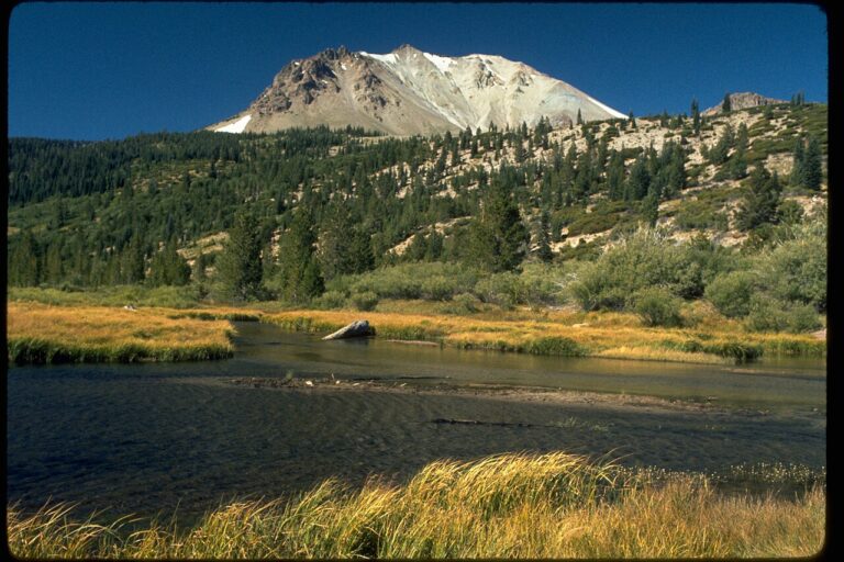
National Park Service schedules show the Loomis Museum near Lassen's northwest entrance ending its 2026 season on October 12, ahead of winter road restrictions.
2026-10-15
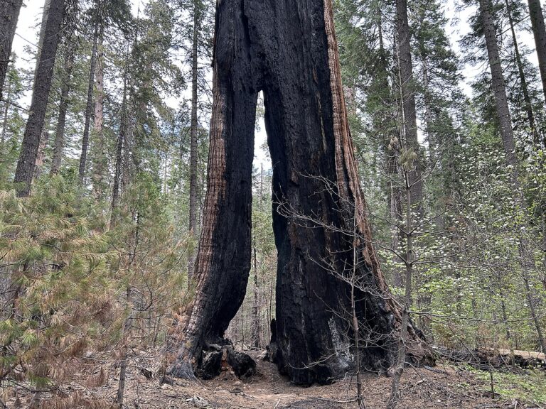
California State Parks lists South Grove closed, a potential October 15–17 public safety power outage, and fall North Grove hikes near Murphys.
2026-10-15
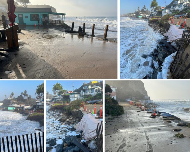
California declared an emergency in Imperial, Los Angeles, Orange and San Diego counties after Tropical Storm Rachel. The order opens state aid and waives certain replacement-document fees.
2026-10-15
Humboldt County's emergency office encourages signups for Humboldt Alert and provides official zone information. Here is a Southern Humboldt checklist including US 101 travel resources.
2026-10-15
Shasta County provides an official AlertShasta public warning system. What Fall River Mills residents need to know about sign-up, emergency messages and separate road and weather sources.
2026-10-15
Yuba County's official emergency pages connect CodeRED notifications, evacuation-zone information and current notices. A practical guide for Brownsville and the foothills.
2026-10-15
Riverside County encourages residents to use both Alert RivCo and Genasys Protect. What Desert Center households should know about warnings, zones and I-10 travel information.
2026-10-15
For Campo and eastern San Diego County, the county emergency system provides sign-up links, incident updates and an emergency map. Here is how to use the official sources.