
MARIN COUNTY, California — Friday, November 20, 2026. An unusually dangerous combination of Thanksgiving travel, anticipated rain and some of the year's highest astronomical tides has prompted Marin County officials to advise residents against nonessential driving between 9 a.m. and 4 p.m. Tuesday, November 24, through Thursday, November 26. The county issued its guidance on November 19, and NWS San Francisco reiterated rising coastal-flood concerns on November 20.
November 21 update: emergency portal broadens the risk window to November 22–27
Marin County's official emergency portal, updated November 20, now tells residents to prepare for significant coastal flooding November 22–27. While the most severe holiday high-tide peaks remain forecast for November 24–26, the wider county risk window begins sooner and ends later. The portal warns of potential traffic delays and road closures, particularly from late morning through afternoon, and advises people who can avoid travel to do so. A forecast does not mean every road is currently closed; use the portal's public information map for site-specific status.
The county also announced a heated severe-weather shelter at 1111 Las Gallinas Avenue, San Rafael, for individuals and families experiencing homelessness from 5 p.m. to 7 a.m. on November 24, 25 and 26. This is not a general hotel or evacuation center for every household. See the separate San Rafael News shelter report for eligibility and confirmed services. For urgent action or road closures, follow official alerts rather than the publication timestamp of this article.
High-tide schedule: three days to plan around
| Tuesday, Nov. 24 | Wednesday, Nov. 25 | Thursday, Nov. 26 |
|---|---|---|
| 10:00 a.m. | 10:49 a.m. | 11:38 a.m. |
All times are Pacific, and represent the county's cited forecast tide peaks. Floodwater may affect roads about two hours before or more than two hours after a peak. This is not a list of roads confirmed closed. The exact impact varies with location, surge, rainfall and drainage.
Where county officials identify past problems
The county names Lucky Drive around Larkspur and Corte Madera, Shoreline Highway and Manzanita, the Canal neighborhood and Santa Venetia in San Rafael, and other low coastal or Ross Valley locations as potential trouble spots. A road may be passable at one hour and flooded later. Officials have not declared every route impassable as of this report.
Important NWS upgrade — issued November 20, 2:52 p.m.
CRITICAL UPDATE — 6:40 p.m. Friday, November 20, 2026: NWS San Francisco issued a Coastal Flood Warning at 2:52 p.m. today, replacing earlier language that a warning was merely possible for the San Francisco and San Pablo Bay shorelines. The existing Coastal Flood Advisory runs until Monday, November 23 at 6 a.m.; the new, higher-level Coastal Flood Warning runs Monday, November 23 at 6 a.m. through Thanksgiving Thursday, November 26 at 4 p.m. In especially low-lying shoreline and tidal-waterway locations, up to 3 feet of inundation above ground level is possible during the warning. These are regional forecast potential impacts, not confirmed flood depths or confirmed local road closures. The NWS separately issued a Coastal Flood Advisory for Pacific coastal zones including Point Reyes, the San Francisco Peninsula coast and Monterey Bay, effective Saturday, November 21 at 4 a.m. to Thursday, November 26 at 4 p.m. Do not confuse that coastal advisory with the higher-level bay-shoreline warning. NWS full November 20 2:52 p.m. notice; Caltrans QuickMap.
Simple decisions for residents
Move vehicles from low parking spots before tides rise, clear drains safely, check pumps and emergency supplies, and prepare to rearrange holiday trips. Use Emergency.MarinCounty.gov and AlertMarin for real instructions, Caltrans QuickMap for state highways and local government alerts for city streets. Do not enter flooded roadways or bypass barricades. A forecast is not an evacuation order.
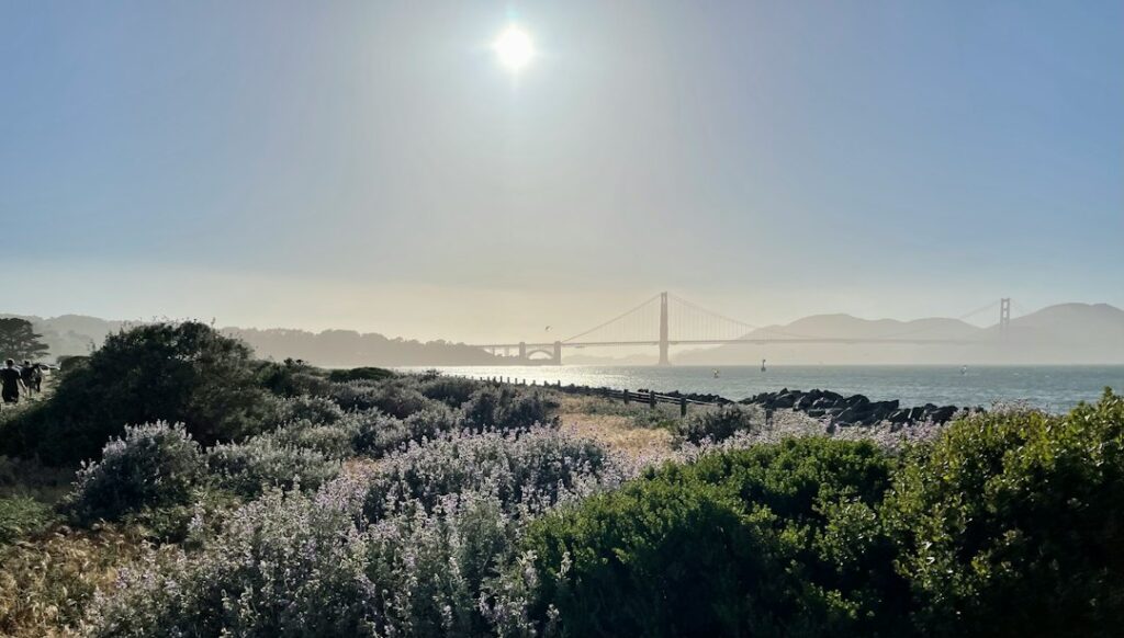
Sources: Marin County official news release, Nov. 19; NWS San Francisco Area Forecast Discussion, Nov. 20. Photo is an illustrative shoreline scene, not a photograph of this week's flooding.
Support California58
Choose how to support California58:
Credit / Debit Card via StripeChoose your contribution amount on the secure California58 Stripe checkout. One-time support for independent local journalism.
Continue with PayPal Continue with ZelleZelle payments go to Vitaly Ataev Troshin. Please verify the recipient in your bank before sending. Availability depends on your bank.
Optional reader support. Contributions are not advertised as tax-deductible. Support does not influence editorial decisions.USEFUL SERVICES
Useful services from our ecosystem
AFFILIATED RESOURCE
Travel smarter worldwide
OptionTripAI-powered trip planning for journeys in California and around the world.
Explore OptionTrip →AFFILIATED RESOURCE
Free tax & property tools
TaxesTimeFree preliminary tax and property tools, including the Property Tax Savings Report.
Explore TaxesTime →AFFILIATED RESOURCE
California document support
LegalDocSVCDocument preparation support for self-represented Californians. Not a law firm and not legal advice.
Explore LegalDocSVC →WORK WITH CALIFORNIA58
Have a story, project or partnership idea?
California58 welcomes news tips, interviews, video projects, community partnerships, advertising and other California-focused collaborations.
Work with California58 →
COMMUNITY
Comments
Join the California58 conversation. You must be signed in to comment.
Create a free California58 account or sign in with an available social provider.