
CALIFORNIA — A weekend storm fueled by tropical moisture is prompting flash-flood and high-wind alerts across the Mojave Desert, Death Valley and neighboring parts of Nevada and Arizona. The National Weather Service (NWS) issued flood watches and wind advisories Friday, October 9, ahead of a period of showers, thunderstorms and potentially dangerous runoff October 10–12, 2026.
The greatest immediate concern is rapid flooding of desert washes, low-water road crossings and vulnerable travel routes. Strong southerly winds could also bring down branches, blow unsecured objects into roads and cause isolated power outages. The official warnings describe forecast hazards, not flooding or damage already confirmed to have occurred.
Forecast update — Friday, October 9: The NOAA Weather Prediction Center has raised its excessive-rainfall outlook to Moderate Risk for parts of the Southwest on Sunday as moisture associated with tropical system Rachel moves inland. The risk category applies to a forecast area, not automatically to every community in the Mojave Desert. Individual locations may be outside the greatest-risk zone.
When are the flood and wind alerts in effect?
| Alert and area | Forecast period (Pacific time) | Main concern |
|---|---|---|
| Flood Watch — Death Valley National Park and Western Mojave Desert | Saturday afternoon, Oct. 10, through late Sunday night, Oct. 11 (listed expiration: 5 a.m. Monday) | Flash flooding from thunderstorms and excessive rainfall |
| Flood Watch — additional southeast California, southern Nevada and northwest Arizona areas | From Saturday morning, Oct. 10, through late Sunday night, Oct. 11; exact local start varies | Flooding of low spots, desert washes and road crossings |
| Wind Advisory — much of the affected desert region | 5 a.m. Sunday, Oct. 11, to 5 a.m. Monday, Oct. 12 | South winds 20–30 mph; gusts 45–55 mph |
| Wind Advisory — Death Valley National Park | 2 p.m. Saturday, Oct. 10, to 5 a.m. Monday, Oct. 12 | South winds 25–35 mph; gusts up to 60 mph |
These periods reflect NWS products available on October 9. Alerts can be extended, revised, canceled or replaced as forecasts change; check the latest notice for your exact location.
Where could flooding develop?
The flood watch explicitly identifies Death Valley National Park and the Western Mojave Desert, including areas around Barstow, Daggett and Fort Irwin, along with Esmeralda and central Nye counties in Nevada. Other NWS Las Vegas flood-watch zones encompass parts of the Eastern Mojave Desert, the Morongo Basin, Cadiz Basin, the upper Colorado River valley, the Las Vegas Valley and parts of northwest Arizona.
Communities named in various regional alert zones include Baker, Needles, Yucca Valley, Twentynine Palms, Las Vegas, Pahrump and Lake Havasu City. The alerts do not mean that all those places will receive the same rainfall or sustain flood damage. Local conditions can differ dramatically within a few miles.
For residents of Trona, Searles Valley and Ridgecrest, the prudent step is to check location-specific NWS alerts and road conditions before travel. Proximity to an alerted region is not, by itself, proof that a specific street or address is under the same warning. In desert communities, however, short bursts of heavy rain can make unpaved approaches, dry channels and isolated roads hazardous.
How strong could the winds become?
The regional Wind Advisory calls for 20 to 30 mph sustained southerly winds, with 45 to 55 mph gusts (approximately 72–89 km/h). For Death Valley National Park, a separate advisory allows for gusts reaching 60 mph, or about 97 km/h.
NWS warns that loose outdoor belongings may blow away, tree limbs could fall and isolated electric outages may follow. High-profile vehicles — including RVs, box trucks, vans and trailers — are particularly vulnerable to crosswinds. Forecasters also expect a temporary lull late Saturday night into Sunday morning in some locations before winds strengthen again Sunday afternoon.
Why can desert flash floods be so dangerous?
Dry ground, steep terrain, narrow washes and limited drainage can funnel rainfall into fast-moving water. A storm can trigger a flash flood downstream even when it is not raining where a driver or hiker is standing. Water can cross roadways suddenly, hiding damaged pavement, debris or washouts beneath the surface.
The NWS advises never driving or walking across flooded roads and low-water crossings. Its safety message is simple: “Turn Around, Don’t Drown.” Campers and hikers should avoid slot canyons, dry streambeds and other confined low-lying areas when heavy rainfall is forecast.
What does tropical storm Rachel have to do with it?
According to NOAA’s Weather Prediction Center, a plume of tropical moisture associated with Rachel and a broader weather system is expected to support showers and thunderstorms across the Southwest. The precise storm track and concentration of the heaviest rain remain uncertain. Forecast rainfall risk is not the same thing as predicting a hurricane landfall in Death Valley or the Mojave Desert.
In its Friday afternoon update, the WPC elevated the outlook for portions of the Southwest to Moderate Risk on Sunday, October 11, citing the potential for heavier tropical rainfall as Rachel’s remnant energy moves northeast. The outlook may change again as the event approaches.
What residents, drivers and visitors should do now
- Before driving: check Caltrans QuickMap for state-highway restrictions and closures. Do not assume a route is open just because navigation software displays it.
- At home: secure patio furniture, trash bins and other lightweight items; inspect drainage paths without placing yourself in a wash or flood zone.
- In the desert: postpone hiking in slot canyons or camping in dry washes when thunderstorms threaten; avoid flooded dirt-road crossings.
- During a warning: move away from fast-moving water and follow local emergency instructions. A Flood Watch means flooding is possible; a Flash Flood Warning signals a more immediate danger requiring action.
- For road trips: carry water, a charged phone and an alternate route, and reconsider high-profile-vehicle travel during the strongest winds.
Check official forecasts and road conditions
- National Weather Service — Las Vegas: local forecasts, watches and warnings for many desert locations.
- Original NWS October 9 Flood Watch and Wind Advisory: affected zones, wind speeds and alert language.
- NOAA Weather Prediction Center: excessive rainfall risk outlook and forecast discussion.
- National Hurricane Center: tropical system Rachel advisories and updates.
- Death Valley National Park: park-specific conditions and closures.
- NWS flood safety guidance and Caltrans QuickMap.
More California58 coverage
Planning travel in the area? Explore our San Bernardino County travel guide and Kern County guide. For wider flood response preparation, read our report on California’s swiftwater rescue teams.
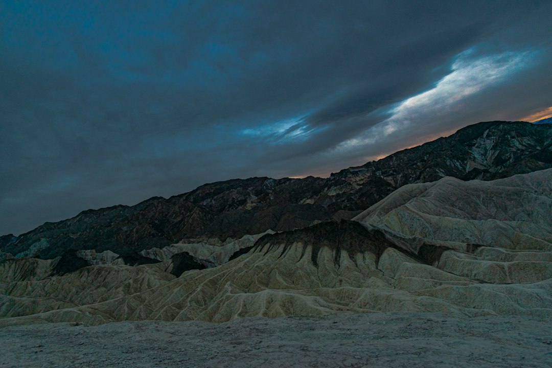
California58 weather desk. Published October 9, 2026. NWS advisories and WPC outlooks are time-sensitive; revisit the linked official pages for the latest information. Featured image: illustrative desert landscape / Akash Dutta, Unsplash. It does not show the October 2026 storm.
USEFUL SERVICES
Useful services from our ecosystem
AFFILIATED RESOURCE
Travel smarter worldwide
OptionTripAI-powered trip planning for journeys in California and around the world.
Explore OptionTrip →AFFILIATED RESOURCE
Free tax & property tools
TaxesTimeFree preliminary tax and property tools, including the Property Tax Savings Report.
Explore TaxesTime →AFFILIATED RESOURCE
California document support
LegalDocSVCDocument preparation support for self-represented Californians. Not a law firm and not legal advice.
Explore LegalDocSVC →WORK WITH CALIFORNIA58
Have a story, project or partnership idea?
California58 welcomes news tips, interviews, video projects, community partnerships, advertising and other California-focused collaborations.
Work with California58 →
COMMUNITY
Comments
Join the California58 conversation. You must be signed in to comment.
Create a free California58 account or sign in with an available social provider.