
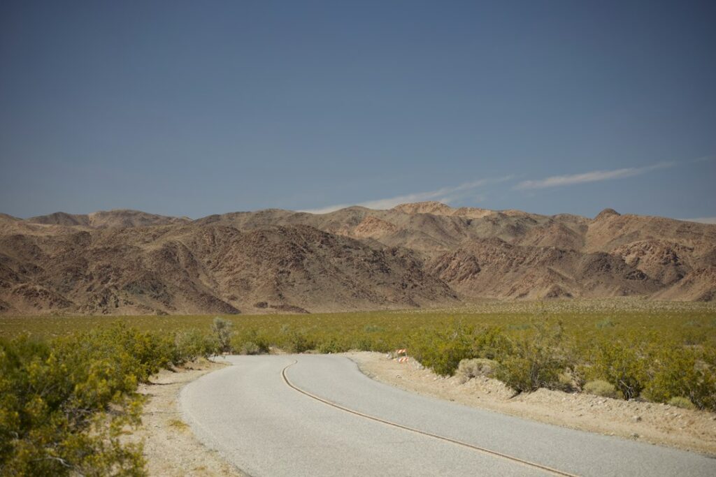
Featured image: desert road and mountains by Abhi Dasari / Unsplash. Illustrative only; not a documented location of the 2026 BLM route closures.
RED MOUNTAIN NEWS | SAN BERNARDINO COUNTY | OCTOBER 19, 2026. People who ride dirt bikes, side-by-sides and other off-highway vehicles around Red Mountain need to pay attention to a substantial 2026 federal land-management change. The Bureau of Land Management says that beginning March 24, 2026, routes within designated desert tortoise and Lane Mountain milk-vetch critical habitats in the West Mojave planning area were closed to public OHV recreation until further notice. It also established a free permit requirement for OHV recreation in the Rand Mountains Management Area.
What changed in March 2026?
BLM attributes the action to a federal court order affecting the West Mojave route network. Its published notice states that the closures include recreational use by street-legal vehicles, not only unregistered dirt bikes or specialized off-road machines. Because the designated critical-habitat areas and the management boundaries do not correspond neatly to town names, a Red Mountain mailing address alone does not tell you whether a specific trail is open.
Designated county roads and highways remain open for lawful travel, along with routes necessary for established easements, administrative and emergency access, and other permitted uses. The notice distinguishes that legal access from recreational OHV use on routes where such recreation is restricted.
Red Mountain limited-use area versus Spangler Hills open-use area
The BLM Ridgecrest Field Office identifies the Red Mountain limited-use OHV area within a desert tortoise Area of Critical Environmental Concern. Its visitor information directs riders to designated roads and trails only. The separate Spangler Hills OHV open area is described as roughly 95,220 acres of open public land. Do not treat these as interchangeable or assume the open-area designation overrides a more recent route closure, seasonal restriction or site-specific notice.
How does the free permit work?
BLM states that a free permit is required for OHV recreation in the Rand Mountains Management Area. This does not mean every driver passing through the town of Red Mountain must obtain the permit. Before departure, check whether your planned recreation route enters the specific management area and obtain the current permit instructions from the official BLM Ridgecrest Field Office website or the West Mojave Route Network Project.
Why the restrictions matter
Desert tortoises spend substantial time in burrows, which can be difficult to see from a vehicle. Repeated cross-country driving can disturb burrows, damage vegetation and fragment habitat. BLM advises visitors to observe tortoises from a respectful distance, not touch or relocate them, and check beneath parked vehicles before moving; the animals may seek shade there.
Six checks before a 2026 weekend ride
- Review the current BLM route map for your exact starting point and destination, not only a commercial navigation app.
- Confirm whether the planned route lies in an OHV open area, limited-use area, critical habitat or the Rand Mountains Management Area.
- Obtain the applicable permit if entering a permit-required recreation zone.
- Check current fire and seasonal restrictions; the 2026 route closure does not supersede other public-safety rules.
- Carry water, a map usable offline, a spare tire or other appropriate gear, and a plan for returning safely.
- Avoid abandoned mine workings, fenced remediation areas, and any unsigned off-route shortcuts.
Where to ask questions
The BLM Ridgecrest Field Office is at 300 S. Richmond Road, Ridgecrest, CA 93555, with a public contact number of (760) 384-5400. The official Red Mountain recreation information is at blm.gov/visit/red-mountain. The BLM website is the authoritative place to check for subsequent map and permit changes.
Red Mountain News is also reporting on the nearby Kelly Silver Mine cleanup records and emergency alerts for the desert community.
Sources: BLM Ridgecrest Field Office, 2026 West Mojave notice; BLM Red Mountain visitor guide; BLM Spangler/Red Mountain. This report summarizes published federal instructions; no local ranger interview is claimed. Always confirm current route conditions.
Support Red Mountain News
Choose how to support Red Mountain News:
Credit / Debit Card via StripeChoose an amount from $1. One-time support through the publisher's LINKERNO Stripe account.
Continue with PayPalZelle323-677-7643Open Zelle through your bank. Verify the recipient before sending.
Optional reader support. When possible, add “Red Mountain News” to the payment note. Contributions are not advertised as tax-deductible. Support does not influence editorial decisions.More from Red Mountain News
- Red Mountain News: 42 Test Drill Holes Proposed at St. Elmo Mine — What County Records Actually Approve →
- Red Mountain News: Private Well Permits and Water Tests in the Mining District — 2026 Guide →
- Red Mountain News: How to Check Land Zoning, Legal Lots and Building Permits in 2026 →
- Red Mountain News: San Bernardino County’s 2026 Emergency Campaign Puts Rural Desert Alerts in Focus →
- Red Mountain News Investigation: What Federal Records Say About Arsenic and the Kelly Silver Mine Cleanup →
COMMUNITY
Comments
Join the California58 conversation. You must be signed in to comment.
Create a free California58 account or sign in with an available social provider.