
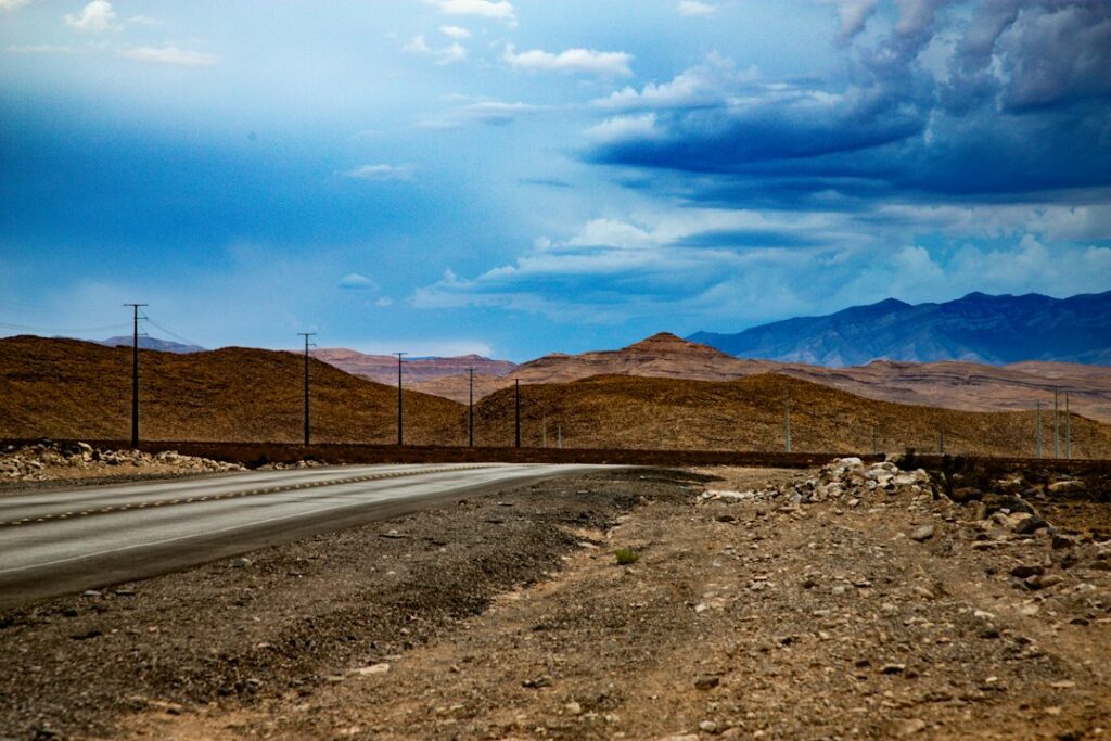
Featured photo: paved desert road and mountains by Amelia Hollis / Unsplash. Illustrative only; not a surveyed Red Mountain lot or approved building site.
RED MOUNTAIN NEWS | LAND & HOUSING | OCTOBER 19, 2026. Land advertisements around Red Mountain may describe low-cost desert lots with mountain views, historic mining surroundings and easy access to U.S. 395. But the legal ability to build a home is never established by a listing or an assessor parcel number alone. In 2026, residents and prospective buyers should start with the San Bernardino County Land Use Services Department to research zoning, legal parcel status, permitted uses and building requirements for a specific Red Mountain property.
Red Mountain is not inside the City of Ridgecrest
Red Mountain belongs to the unincorporated area of San Bernardino County, whereas nearby Ridgecrest is a city in Kern County. It is easy to cross agency boundaries on a road trip through the Rand Mining District. However, the same construction or property question may have an entirely different permitting authority on each side of a county or city boundary. Always start with the property’s legal location and assessor parcel information.
Red Mountain is named in the county’s North Desert Communities plan
San Bernardino County’s North Desert Communities Community Action Guide explicitly includes Red Mountain among a group of small unincorporated communities. The guide emphasizes close-knit communities, historical roots, quiet rural atmosphere and dark night skies. It also identifies community priorities involving road maintenance, sheriff patrols, public communication, transportation and code education. The guide reflects older planning work still accessible in 2026; it is not a new community-plan adoption announced this month.
How to find your property’s official zoning
The county zoning and overlay maps page offers the county’s interactive zoning information. Search using the exact parcel rather than assuming a nearby property has the same land-use designation. County planning rules distinguish rural residential, agricultural, resource and other possible classifications, with development standards depending on the mapped zone and any overlays. A zoning map is the starting point, not an approved building permit.
Six checks before paying for land or construction plans
- Ownership and legal parcel: Obtain the deed, title report, recorded maps and any merger or certificate-of-compliance history. An APN may be used for taxation without resolving every parcel-creation question.
- Permitted use and setbacks: Ask county planning staff if the intended dwelling, modular home, garage, storage structure or business activity is allowed.
- Legal access: Check recorded easements and the route’s status. An unpaved path across a neighbor’s land is not automatically a lawful, permanent driveway.
- Water and wastewater: Ask whether a public supply exists, a private well may be approved, and what septic testing or permits the site requires.
- Fire, geotechnical and flood issues: Investigate fire access, grading, structural design, stormwater and potentially unstable or disturbed ground.
- Historic mines and environmental constraints: Review site-specific public records if the property is near abandoned mine workings or mine-tailings areas. A regional cleanup project does not determine the condition of every private parcel.
Can you place a mobile home or RV on an empty parcel?
Do not assume so. The difference between a HUD-code manufactured home on an approved installation, a recreational vehicle parked temporarily, an accessory dwelling and a conventional site-built home can matter under zoning, building and health rules. Whether short-term RV occupancy is allowed must be confirmed for the exact property and use; not every vacant parcel permits residential RV living simply because it is rural.
Who to contact
Start with the San Bernardino County Land Use Services Department, identify the parcel and ask which planning, building and environmental-health approvals are needed. For a public overview of applicable rules, use the county’s Countywide Plan. Do not rely on the City of San Bernardino’s zoning code: that city is a different jurisdiction from unincorporated Red Mountain.
Related reporting
See California58’s legal parcel status explainer, access easement guide and Red Mountain water-well report.
Primary sources: San Bernardino County zoning maps, North Desert Communities Action Guide. This article provides research steps, not approval or a legal determination for any particular lot.
Support Red Mountain News
Choose how to support Red Mountain News:
Credit / Debit Card via StripeChoose an amount from $1. One-time support through the publisher's LINKERNO Stripe account.
Continue with PayPalZelle323-677-7643Open Zelle through your bank. Verify the recipient before sending.
Optional reader support. When possible, add “Red Mountain News” to the payment note. Contributions are not advertised as tax-deductible. Support does not influence editorial decisions.More from Red Mountain News
- Red Mountain News: 42 Test Drill Holes Proposed at St. Elmo Mine — What County Records Actually Approve →
- Red Mountain News: Private Well Permits and Water Tests in the Mining District — 2026 Guide →
- Red Mountain News: San Bernardino County’s 2026 Emergency Campaign Puts Rural Desert Alerts in Focus →
- Red Mountain News Investigation: What Federal Records Say About Arsenic and the Kelly Silver Mine Cleanup →
- Red Mountain News: 2026 BLM Off-Road Rules Bring New Route Closures and a Free Rand Mountains Permit →
COMMUNITY
Comments
Join the California58 conversation. You must be signed in to comment.
Create a free California58 account or sign in with an available social provider.