
San Bernardino County at a glance
San Bernardino County spans about 20,105 square miles, making it the largest county by area in the United States. The county government describes a community of nearly 2.2 million residents and more than 40 departments and agencies serving one of California’s most geographically diverse counties.
Geography and statewide role
The county stretches from the Inland Empire through the San Bernardino Mountains and across large portions of the Mojave Desert to the Colorado River. Its scale makes transportation, wildfire, desert communities, logistics, public lands and cross-county service access especially important parts of the California58 profile.
California58 encyclopedia profile
This page is the canonical California58 county profile for San Bernardino County. It will connect cities and unincorporated communities with county government, public records, permits, transportation, parks, emergency information, local news, business and demographic data.
Data and records being connected
- Population and housing estimates
- Assessor, parcel and property-tax resources
- Recorder and document-request pathways
- Building, planning and zoning systems
- Fire, burn-permit and emergency resources
- Transportation and road information
- Public health and environmental-health systems
- Elections and district information
- County press releases and California58 local reporting
Official sources
- San Bernardino County – Official Website
- California Department of Finance – 2021-2026 Population Estimates
10 places to explore in San Bernardino County
San Bernardino County stretches from mountain lakes and historic communities to the Mojave Desert and Colorado River. These ten independently selected destinations give residents and visitors a practical starting point. This is an editorial selection, not a community-vote ranking; attractions, facilities, access and weather conditions can change.
-
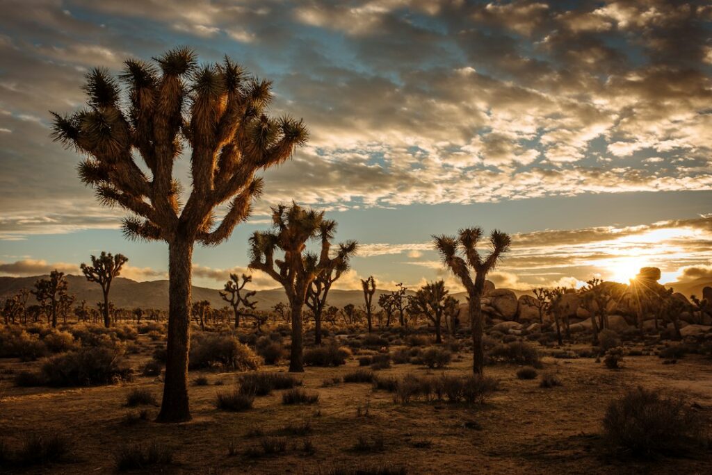
Joshua Tree National Park
Desert scenery, rock formations and trails are the draw at this internationally known park. Start with the National Park Service visitor guide; parking, temperatures and trail access vary by season. Plan with National Park Service →
-
Mojave National Preserve and Kelso Dunes
Explore the wide Mojave landscape, including the Kelso Dunes hike. The National Park Service cautions that desert heat and remote roads demand advance planning; check its conditions page before departure. Plan with National Park Service →
-
Calico Ghost Town
Near Yermo, San Bernardino County Regional Parks operates a restored silver-mining-era town with historic buildings, exhibits and family activities. Check current admissions and events with the county park. Plan with San Bernardino County Regional Parks →
-
Trona Pinnacles
These remarkable tufa towers rise above the Searles Lake basin. The Bureau of Land Management notes that access includes an unpaved road and that the site has no drinking water; visitors should check conditions and bring supplies. Plan with Bureau of Land Management →
-
Rainbow Basin Natural Area
North of Barstow, colorful rock formations and desert canyons reward scenic driving, photography and short walks. Stick to signed open routes; the BLM warns about rough roads and flash-flood hazards. Plan with Bureau of Land Management →
-
Silverwood Lake State Recreation Area
A mountain reservoir setting for picnics, hiking, fishing and designated boating or swimming. California State Parks publishes current watercraft rules, alerts, entry information and facility conditions. Plan with California State Parks →
-
Big Morongo Canyon Preserve
Near Morongo Valley, this protected desert oasis invites visitors to observe natural habitats and enjoy nature walks. Check current visitor information and seasonal conditions before visiting. Plan with San Bernardino County Regional Parks →
-
Mojave Narrows Regional Park
A Victorville-area park for picnics, outdoor recreation and time beside the Mojave River corridor. Confirm current opening details and any water or facility advisories with Regional Parks. Plan with San Bernardino County Regional Parks →
-
Yucaipa Regional Park
At the foothills of the San Bernardino Mountains, the county regional park offers a family-oriented outdoor stop. Water activities and facilities are seasonal, so check the official park notices. Plan with San Bernardino County Regional Parks →
-
Moabi Regional Park
Close to Needles and the Colorado River, this county park connects desert road trips with riverside recreation. Check rules and conditions, particularly during the warmest months. Plan with San Bernardino County Regional Parks →
Before you go
Mountain snow, desert heat, wildfires, road closures and changes in park access can affect trips at short notice. Check California weather alerts, official road conditions and the destination operator’s current notices before you travel. On remote desert outings, bring water, fuel and a reliable route plan. This guide was updated in October 2026 using official park and public-land information.
Reader participation: California58 intends to add verified-user voting for local places. The list above is not presented as the outcome of a vote.
Update policy: population and housing indicators are reviewed at least annually. Public-record, permit, emergency and agency links are reviewed as official systems change.