
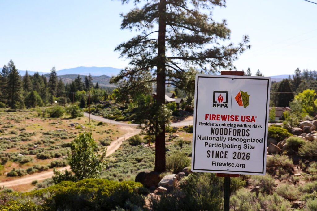
SAN BERNARDINO COUNTY, California, October 17, 2026. The California Governor’s Office of Emergency Services (Cal OES) listed San Bernardino County among 14 California counties receiving prepositioned firefighting resources ahead of strong wind and elevated wildfire risk. This is a precautionary state deployment, not evidence that fires are burning in all communities in San Bernardino County.
What Cal OES reported
In the official Oct. 16 resource bulletin, the state listed 5 fire engines and 1 hand crew and 37 firefighters and support personnel for San Bernardino County, with figures current at 9 a.m. October 16. Local agencies request these resources and select staging and response assignments. No specific neighborhood should be assumed to be the site of a fire based solely on this map.
What is known about actual wildfire incidents
Cal OES’s prepositioning announcement does not itself name a burning wildfire or evacuation zone in San Bernardino County. If there is a new incident, consult the CAL FIRE incident map for the agency’s named reports and timestamps rather than assuming the deployment graphic is a fire perimeter.
What this means for local residents
The bulletin is relevant to residents of Searles Valley (Trona, Argus and Pioneer Point), Barstow, Yucca Valley, Joshua Tree, Big Bear Lake and Needles, as well as other communities in the county. It does not establish that any named town is under evacuation or near an ignition point. Review your address-specific county emergency alert system; plan routes, medications, essential documents, mobility support and arrangements for animals before any evacuation becomes necessary.
- CAL FIRE — latest named wildfires
- National Weather Service — fire weather warnings
- Cal Alerts — sign up for local emergency warnings
- Caltrans QuickMap — current state highway restrictions
- AirNow — smoke and air quality
- Ready California — emergency preparedness
All 14 counties: statewide wildfire picture
Read the California58 statewide report: where crews were prepositioned, and which actual fires were reported →. That report distinguishes the Oct. 16 preparedness map from separately confirmed CAL FIRE incident records.
Sources & limits: Cal OES October 16 briefing (9 a.m. snapshot); CAL FIRE named incident updates. Local fire incidents and evacuation conditions may change quickly; for immediate threats call 911. This public-safety report carries no affiliate links.
Support Searles Valley News
Choose how to support Searles Valley News:
Credit / Debit Card via StripeChoose an amount from $1. One-time support through the publisher's LINKERNO Stripe account.
Continue with PayPalZelle323-677-7643Open Zelle through your bank. Verify the recipient before sending.
Optional reader support. When possible, add “Searles Valley News” to the payment note. Contributions are not advertised as tax-deductible. Support does not influence editorial decisions.More from Searles Valley News
- Searles Valley News: How to Check Trona Land Zoning and Building Permits Before Buying →
- Searles Valley News: How Trona Residents Can Report Dust, Odors and Smoke to Air Regulators →
- Searles Valley Gas Prices: Kwik Serv Sign Shows $5.69 Cash, $5.79 Card →
- Searles Valley: Official Records Show Nearby Ridgecrest’s Groundwater Bill Position →
- Searles Valley News: November 3 Election — What Local Readers Need to Know →
COMMUNITY
Comments
Join the California58 conversation. You must be signed in to comment.
Create a free California58 account or sign in with an available social provider.