
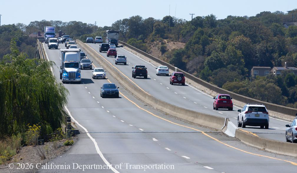
MARIN–SONOMA COUNTY LINE — October 18, 2026. Drivers crossing the Petaluma River Bridge on State Route 37 should prepare for a week of evening and overnight lane restrictions beginning Monday, October 19. Caltrans says bridge rehabilitation work will reduce lanes at different hours in the eastbound and westbound directions through the morning of Saturday, October 24. The agency’s October 15 traffic advisory gives the detailed timetable.
When lanes will be reduced
- Eastbound SR-37: one of two bridge lanes scheduled to close nightly 7 p.m.–6 a.m..
- Westbound SR-37: one of two bridge lanes scheduled to close nightly 5 p.m.–6 a.m..
- Dates: Monday, October 19, through early Saturday, October 24.
Caltrans says at least one lane in each direction will remain open at the Petaluma River Bridge during these particular operations. The work involves restriping and installing temporary concrete barriers for the bridge project. Actual hours may change with weather or construction conditions.
Do not confuse two separate SR-37 projects
There is also a previously announced 55-hour full closure of SR-37 between Mare Island and Sears Point from October 23 at 10 p.m. until October 26 at 5 a.m., associated with a different project to improve flood resilience along the highway corridor. That closure is not the same work zone as the nighttime Petaluma River Bridge lane reductions. The two schedules overlap late on Friday, October 23.
California58 previously reported the Vallejo–Sonoma full closure and official detour plan. Drivers should review both notices if a journey crosses more than one part of SR-37.
What is the bridge rehabilitation intended to fix?
According to Caltrans’ project description, work includes rehabilitation of the Petaluma River Bridge deck and upgrades to its barriers and railings to meet current safety standards. The agency expects the overall effort to take approximately two years, with a tentative completion in July 2028.
The bridge rehabilitation does not itself address the corridor’s long-term sea-level rise issues; Caltrans lists those separately, including other bridge and flood-resilience projects that are planned for future years. Residents should not interpret repairs to the existing bridge as proof that the entire SR-37 corridor is now protected from future flooding.
Who should plan ahead?
Regular commuters between Marin and Sonoma counties, businesses receiving late-night deliveries, airport travelers and weekend visitors to the North Bay should check live road conditions before deciding which route to use. An overnight work window may have very different traffic impacts depending on the rest of the road network.
Caltrans QuickMap provides the agency’s reported closures and traffic conditions. For specific changes to the bridge project, consult the Oct. 15 advisory and the project page.
California58 North Bay transportation report | Caltrans District 4 public notice published Oct. 15, 2026; prepared Oct. 18, 2026. These are announced lane reductions, not a verified minute-by-minute report of conditions.
USEFUL SERVICES
Useful services from our ecosystem
AFFILIATED RESOURCE
Travel smarter worldwide
OptionTripAI-powered trip planning for journeys in California and around the world.
Explore OptionTrip →AFFILIATED RESOURCE
Free tax & property tools
TaxesTimeFree preliminary tax and property tools, including the Property Tax Savings Report.
Explore TaxesTime →AFFILIATED RESOURCE
California document support
LegalDocSVCDocument preparation support for self-represented Californians. Not a law firm and not legal advice.
Explore LegalDocSVC →WORK WITH CALIFORNIA58
Have a story, project or partnership idea?
California58 welcomes news tips, interviews, video projects, community partnerships, advertising and other California-focused collaborations.
Work with California58 →
COMMUNITY
Comments
Join the California58 conversation. You must be signed in to comment.
Create a free California58 account or sign in with an available social provider.